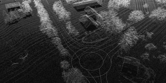
Accurate point clouds and Lanelet2 vector maps

HD-Maps are essential for various subtasks of automated driving.
We created accurate pointcloud and Lanelet2 vector maps for the 25km long DEmandäR measurement track using data from aerial photographs, 3D laserscans, and OpenStreetMap.

